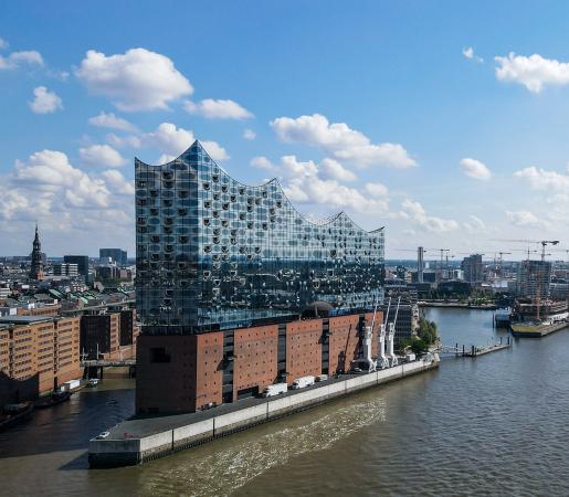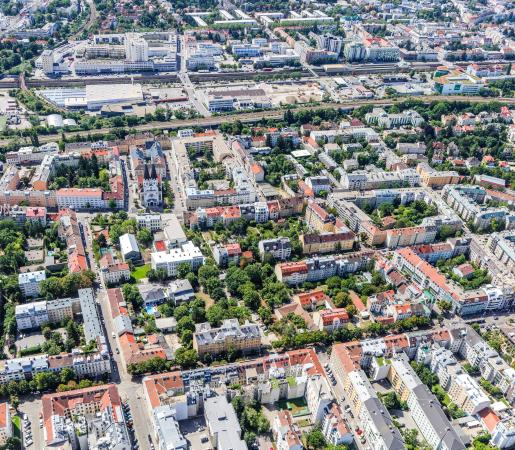
Vienna
ADUCAT - Actionable Data space for Urban Climate Adaptation and related socio-ecological, local Transformation
The ADUCAT project tackles urban climate challenges with solutions such as green space management,
Our main challenges...
Heat mitigation: Vienna faces frequent summer heatwaves, with temperatures above 35°C increasing health risks for vulnerable groups and intensifying the urban heat island effect.
Infrastructure monitoring: Construction projects like the metro extension cause subsidence risks. Without early detection, damages can cost millions and threaten public safety.
Climate resilience: Flooding and droughts are becoming more common. Better forecasting and planning are needed to protect 2M+ residents and ensure long-term urban sustainability
and proposed solutions
Cool City: The project uses advanced satellite data for high-resolution temperature mapping and prediction to inform strategic decisions on cooling measures, urban design, etc.
Green City: ADUCAT focuses on improving green infrastructure through satellite-based monitoring and planning, using data from projects like SeMoNa22 and Semona Reloaded to track the vitality and cooling effect of green spaces and assess strategic greening locations.
Safe City: Vienna’s rapid urbanisationation requires vigilant monitoring. InSAR satellite data and radar remote sensing are used to detect changes in the city, with a focus on infrastructure-related movements, such as ground subsidence due to construction.
Key figures
Milestones
Algorithms for infrastructure safety, green space monitoring and heat monitoring are developed
Algorithms will be integrated in in monitoring tools
Knowledge exchange and peer-to-peer learning to ensure the usability and adoption of the new services, selected staff from partner organisations (e.g. City of Vienna, Wiener Linien, Wiener Lokalbahnen) will be trained to effectively use the newly developed monitoring tools for infrastructure, green spaces, and heat management
Peer-to-peer learning between Vienna and transfer cities, Adaptation of tools (infrastructure monitoring, heat mapping, green space monitoring) to local needs, Feasibility & Opportunity Studies: technical, organizational, and financial implementation in each transfer city, EUI Innovative Solution Model: a guideline for replication and scaling.